
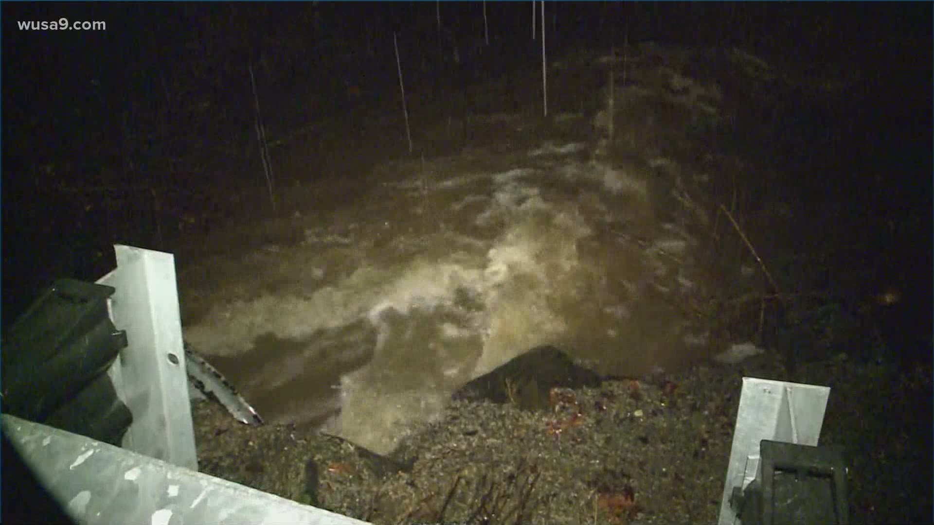
WASHINGTON — Christmas Eve will be windy and wet. Heavy rain, flooding, high winds and power outages are possible. A flash flood watch covers much of the region. Flood warnings are also in effect for parts of the Washington region. Here's a timeline for Thursday's rain and wind.
THURSDAY STORM TIMELINE:
7 P.M. - MIDNIGHT: Locally heavy rains with flooding in spots. Expect temps in the 50s to low 60s with gusts 40 mph to 50 mph, locally higher. The cold front will be pushing from western Maryland toward the Blue Ridge at this time with areas along the Allegany Front in Garrett county and the Canaan valley switching to snow.

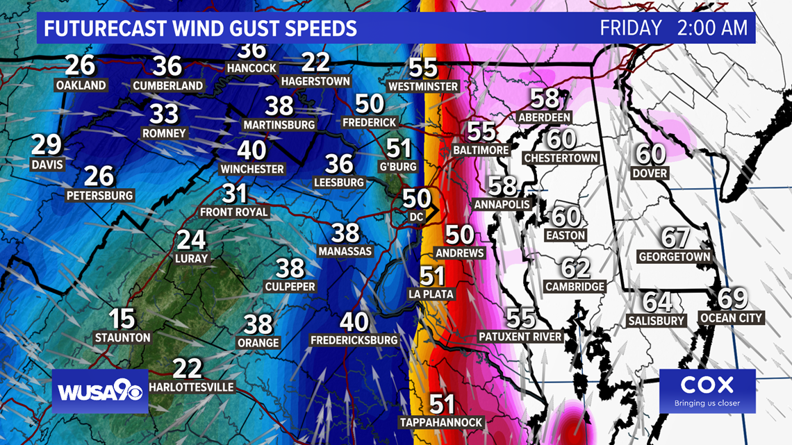
MIDNIGHT - 6 AM FRI: The cold front sweeps through with rain ending from west to east. Some areas may even see a short period of snow as the rain ends. Temps will crash from near 60 to the 30s and low 40s. There is also a threat for a "flash freeze" on the roads west of I-81. This happens when cold air quickly moves in across wet roads causing many roads to ice over very quickly. Being out early Christmas morning carries an extra threat. Wind chills will also be dropping into the 10s and 20s.

