
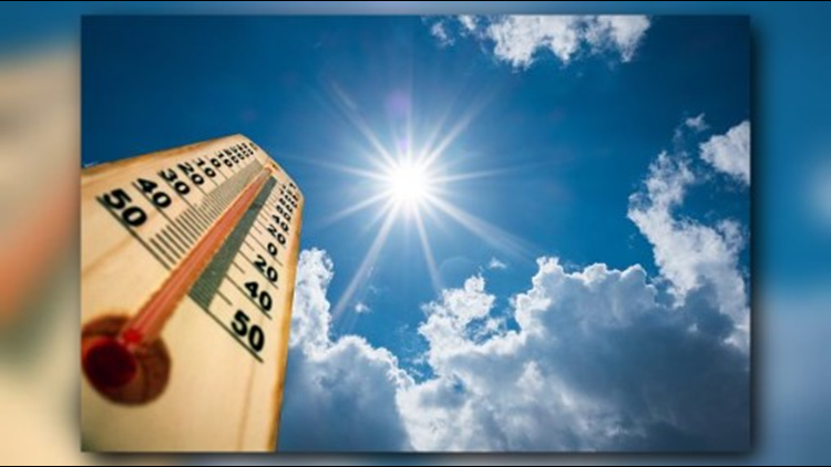
Tuesday’s sweltering heat was bad for us – but good for a few citizen scientists who spent the day driving around D.C.
If you noticed any vehicles with a small PVC pipe sticking-out of a window, that’s them.
RELATED: Cooling centers in DC
The National Oceanic and Atmospheric Administration, Portland State University and the Science Museum of Virginia all working together to map-out and identify D.C.’s “Heat Islands” -- some of the hottest areas of the city.
The goal is to help city planners and better direct first responders.
“We want to be able to map the very hottest parts of the city and then compare that map to population maps to see where people live and in particular, which part of the segment lives there,” said David Herring, “In some cities, the poor, the elderly people who may be least well-abled to get out of harms’ way or to afford air conditioning live there.”
RELATED: Heat forecast
“If [first responders] know where there are elder in the hottest parts,” Herring added, “they may arrange for check-up calls just to make sure people aren’t over-heating.”
Herring is sponsoring the lead scientist on the project. He is the Climate Program Office Communication Manager with NOAA.
Geotab is a Canada-based company that recently studied the top 20 hottest cities in the U.S.
D.C. is on the list. Some of the areas they show to be the hottest include Southeast, Northeast, parts of Georgetown and parts of the National Mall.
Herring says they plan to compare their data to satellite remote sensing data.
The areas he says to look out for are fields, areas with large black-top surfaces and less trees.