
CHESAPEAKE, Va. — Using radar imaging to measure elevation changes, Virginia Tech researchers have uncovered an important gap in planning for sea level rise in the Chesapeake Bay. In some areas, sea levels are rising at a faster rate than previously predicted because the land is sinking.
“By computing this radar measurements over the long time, we can measure the movement of the ground at a very high precision and accuracy,” explains Manoochehr Shirzaei, an associate professor of radar remote sensing engineering and environmental security in the Department of Geoscieces, part of the Virginia Tech College of Science, and a member of the Virginia Tech National Security Institute.
Manoochehr Shirazaei and his team have found that sections of the Chesapeake Bay are sinking at rates of nearly a quarter an inch per year. And with this technology, they can measure year-to-year changes in local ground elevation as small as a millimeter.
Their research discovered that land elevation change is driven by two factors: natural process like glacial ice loss and human action. Many hot spots are sites of anthropogenic activities such as groundwater pumping causing compaction of aquifer systems, while others are places where land is lost to erosion.
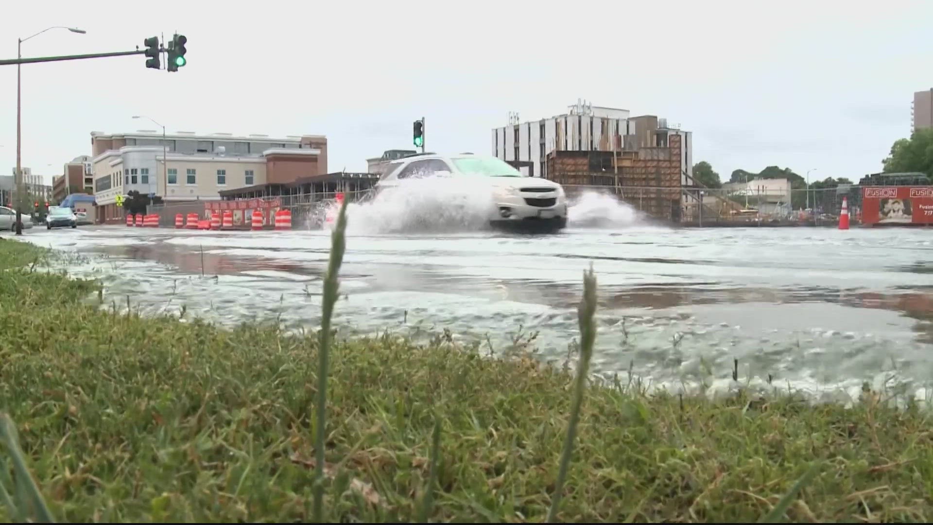
Scientists are focused on the Hampton Roads region as an area of sinking land at a relatively high rate. The region most at risk, the Naval Station Norfolk, home to the largest naval base in the world with a dense population of more than 1.7 million people not including wildlife.
Looking at different sea-level rise scenarios and effects of sinking land, researchers found that, for the Chesapeake Bay, by the year 2100, 282 to 373 square miles face a risk of flooding depending on the rate of greenhouse gas emissions.
Storm surges similar to 2003’s Hurricane Isabel's can increase the inundated area from 527 to 694 square miles from by 2030 if high greenhouse gas emissions persist.
With this new information, officials can update the flooding hazard maps of the Bay that currently don’t account for sinking land and underestimate the flood risk.
Shirazaei says, “Most of those resiliency plans underestimate the future risk and hazard of natural hazards such as flooding, storm surges, etc. etc.”
This will help authorities create more accurate and effective adaptation strategies.
As far as how to adapt to sea level rise, coastal communities will have to look at options like upgrading dams, raising land, maintaining and restoring wetlands, improving flood resiliency, the list goes on. And it will vary from place to place depending on the severity of the flood risk.
WATCH NEXT: