
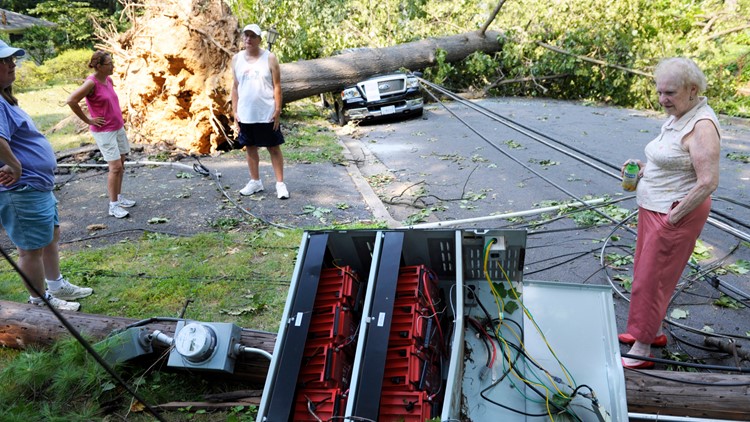
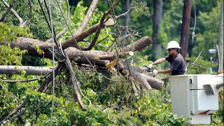
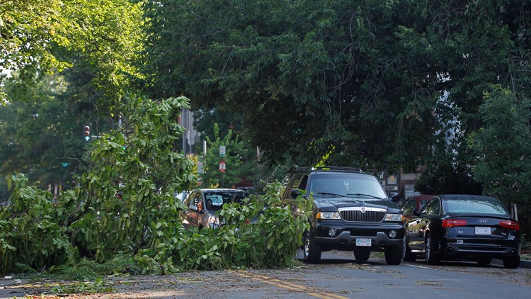
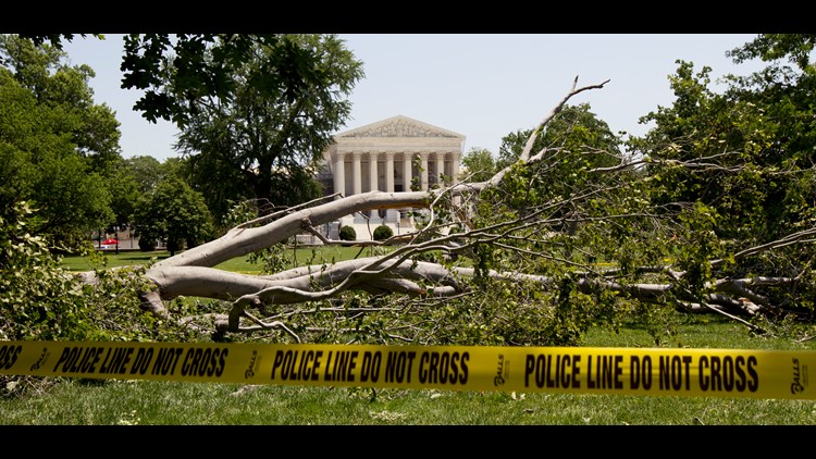
WASHINGTON — A line of thunderstorms, 100 miles from tip to toe rolled through the Metro DC area on June 29, 2012 packing straight line winds of 50 to 80 mph.
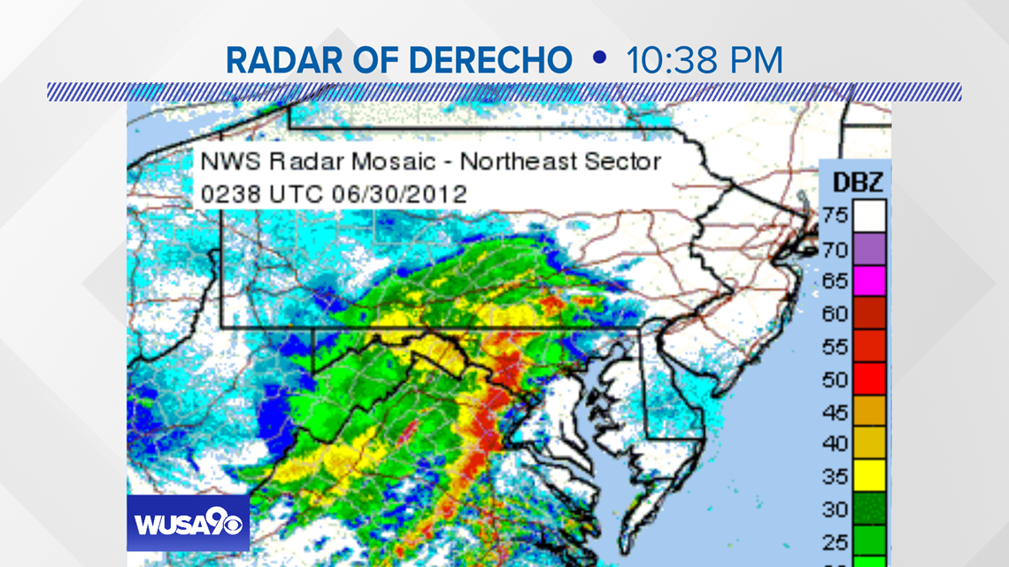
This same ‘clump’ of storms hit Indiana, southeastern Ohio and West Virginia with hurricane force winds earlier in the day. The technical term is Mesoscale Convective System or Derecho, usually seen in the Midwest and not as often in the Mid Atlantic.
Ahead of the storms, National hit a daily record of 104 degrees, and also set an all-time June record high. This system of thunderstorms held its shape and intensity from the Ohio River to the Potomac River and across the Bay into the Ocean resorts in coastal Delaware and Maryland. The intense heat ahead of the storm complex fueled the storms as they raced eastward.
2012 Derecho


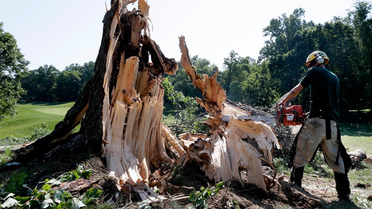


‘Derecho’ means straight, and these types of systems are essentially in a straight line with a bit of a bow to them. The winds are straight line winds that blow in the direction of the movement of the line of thunderstorms, west. Sometimes small tornadoes are embedded in the line of storms but it is very difficult to distinguish the damage from that of the straight line winds.
These straight clusters of thunderstorms are possible from spring to late summer in the U.S. and are a bit more common in June and July. The line of storms must travel and leave a swath of damage at least 250 miles long in order to be classified as a Derecho. They form when it is hot and humid. Ironically, it was hot Friday but not humid but as the line approached the Metro Area dew points rose as higher humidity moved in ahead of the actual event. The atmosphere was very unstable before the line moved into the DMV. During the 7 p.m. show we issued a Red Weather Alert.

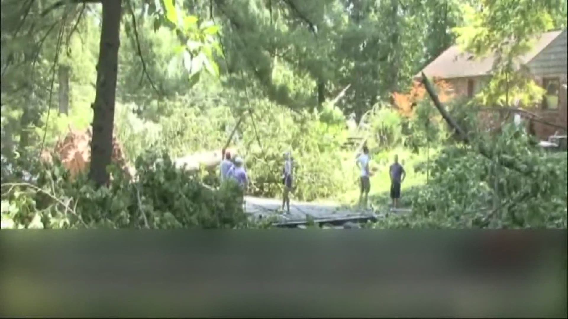
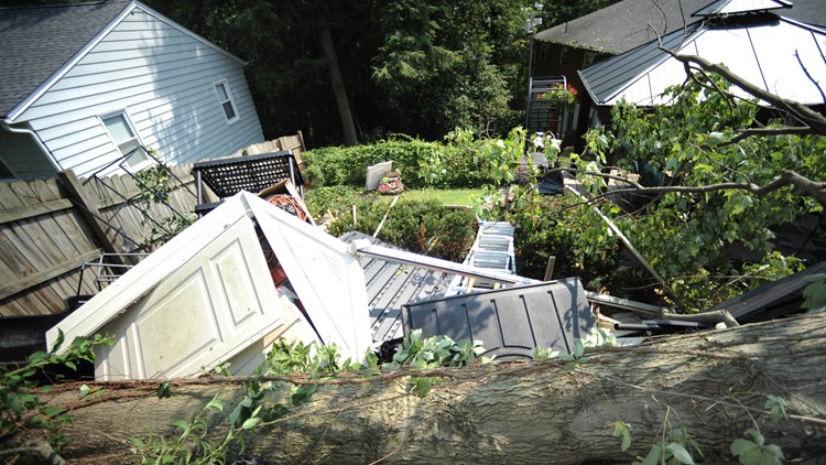
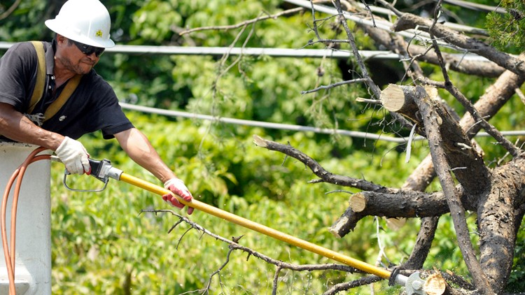
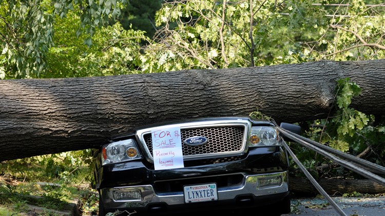
Damage with Derechos is widespread and not just in a couple of neighborhoods. In a more typical line of storms one or two storms within the line might produce severe weather in two confined areas. Everyone in the Metro Area experienced winds from 50 to 80 mph that night resulting in damage over tens of miles. It really was like a thirty minute, minimal strength hurricane. The event is classified as a once-in-60-years event.
Here's coverage from the ten-year anniversary of the storm: