
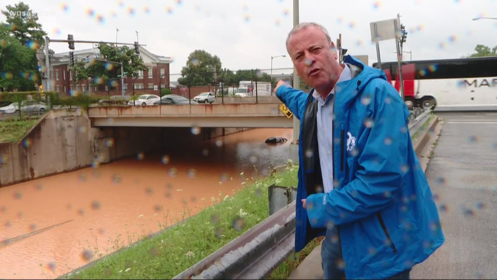
WASHINGTON -- Torrential rainfall drenched Washington, D.C., Monday, dropping between 3-to-6 inches of rain over parts of the District in the span of a few hours.
Flooding from the storm caused at least 12 road closures and flight delays at Ronald Reagan Washington National Airport. And In Potomac, Maryland, flash flooding from the storm washed out the only access road to a community of approximately 80 homes.
Whether the floods hit your area this time around or not, you might be wondering, how likely is the next storm to put me in the flood zone.
Using data from FEMA and Open Data DC, we mapped out the estimated flooding risk across the District of Columbia. Use the map below to explore data for your area (find detailed definitions after the map):
By default the map shows basic flood areas and the roads and bridges most likely to flood (in orange). Use the layer selector to see additional data for Storm Surge Risk and Special Flood Hazard areas.
DEFINITIONS
- High-Risk Area – Areas corresponding to the 100-year floodplain and most likely to flood (equal to or better than a 1-in-100 chance in a given year). Homeowners in these areas are federally required to purchase flood insurance.
- 0.2% Annual Chance Flood Hazard – The so-called 500-year floodplain. These areas have a one-in-500 chance of being flooded in a given year. Homeowners in these areas not required to purchase flood insurance.
- Area of Minimal Flood Hazard – Areas outside of the 500-year floodplain. Floods here are very uncommon.
- Area with Reduced Flood Risk Due to Levee – Areas that would be within the 100-year floodplain area, but which are protected by a levee. Flood insurance requirements may vary.
- Roads/Bridges Most Likely to Flood (shown in orange) – Structures determined to be especially vulnerable to flooding during heavy rains.
- Floodway – Areas adjacent to a body of water reserved to help channel flood waters. Floodways necessarily have high flood risks.
- Storm Surge Risk Areas – Areas vulnerable to flooding during a storm surge (i.e. a hurricane or tropical storm). These areas may be evacuation zones during extreme weather events.
- Special Flood Hazard Area – Area designated by FEMA as having a special flood, mudflow or erosion hazard. These areas have a high risk of flooding and homeowners are therefore required to purchase flood insurance.
---
Jordan Fischer is an investigative data reporter with WUSA9. Follow him on Twitter at @JordanOnRecord.