Light to no accumulations of snow are possible overnight Tuesday in the Metro Area. A clipper will pass well to our north but its trailing cold front will generate a period of light snow in the Metro Area. A secondary low will redevelop too far off the Mid-Atlantic coast Wednesday for a heavy snow event. Another storm develops along the North and South Carolina border but remains well to our south. As often is the case we end up in a 'dead zone' between the Clipper well to our north and the developing secondary storms well to our south and east. Bitterly cold once again behind the Clipper on Wednesday with highs in the upper 20s and low 30s and wind chills in the teens.
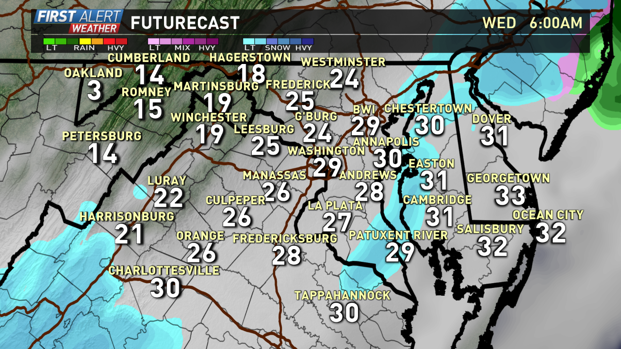
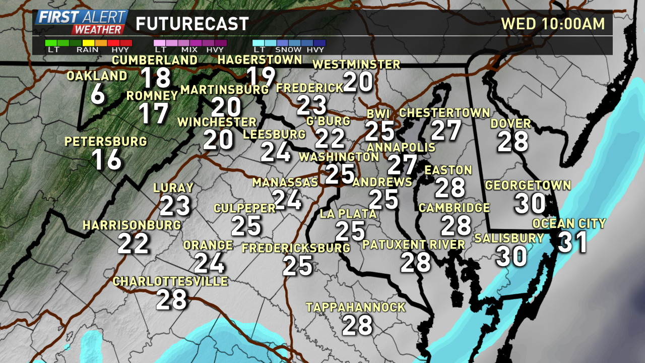
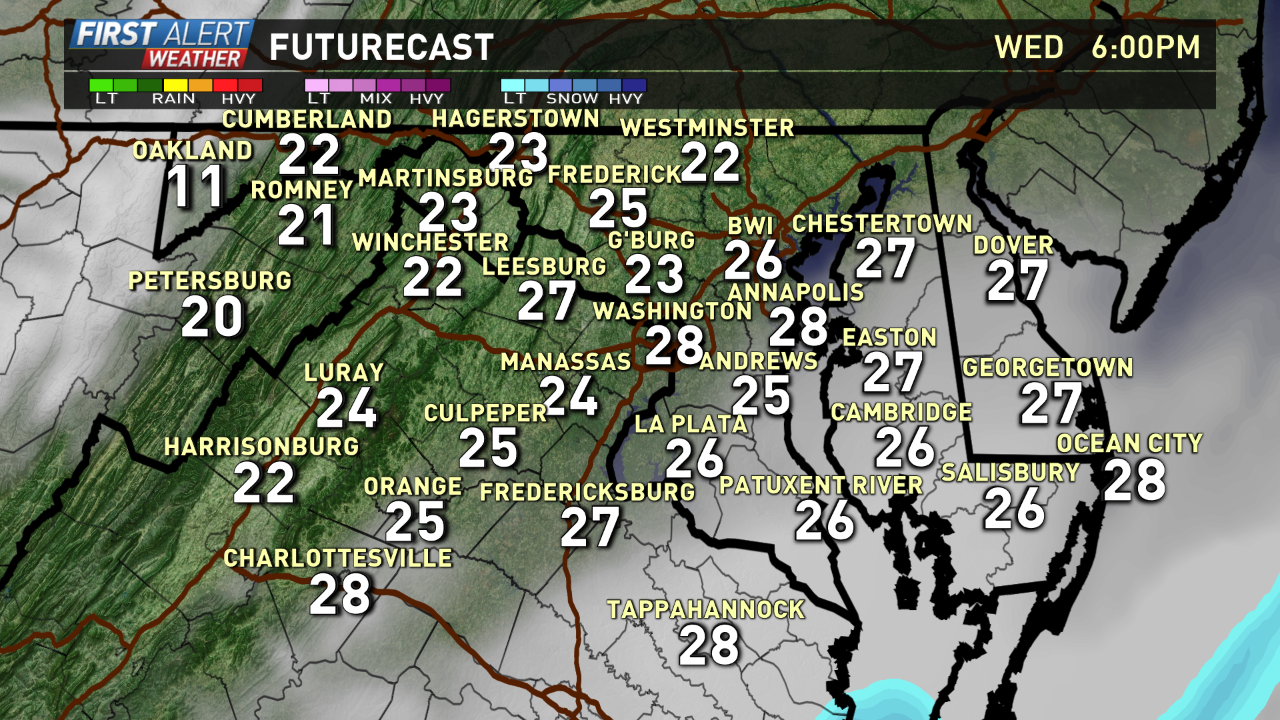
Below is a look at Futurecast taking a closer look at the Clipper and its affect on the Metro Area:
Download the WUSA 9 App to get alerted about this weather system and school closings/delays.